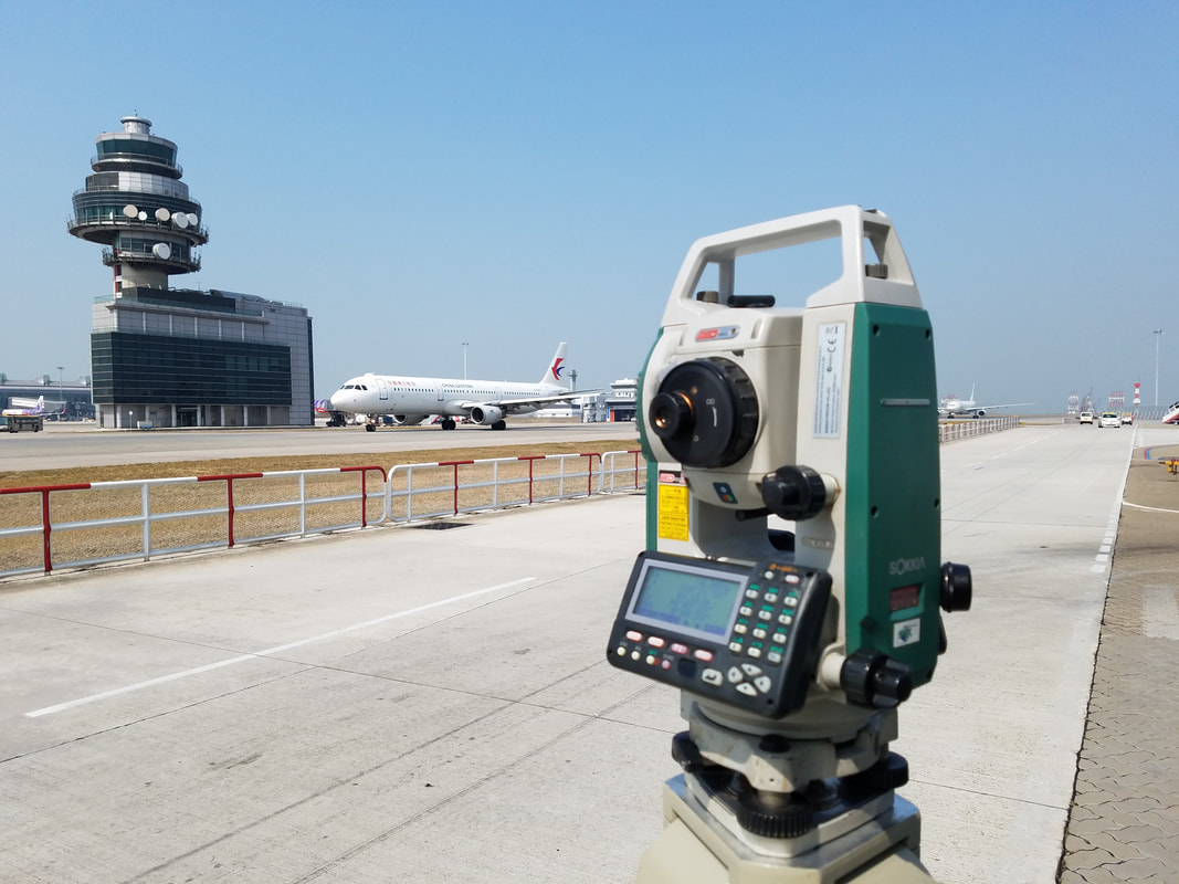
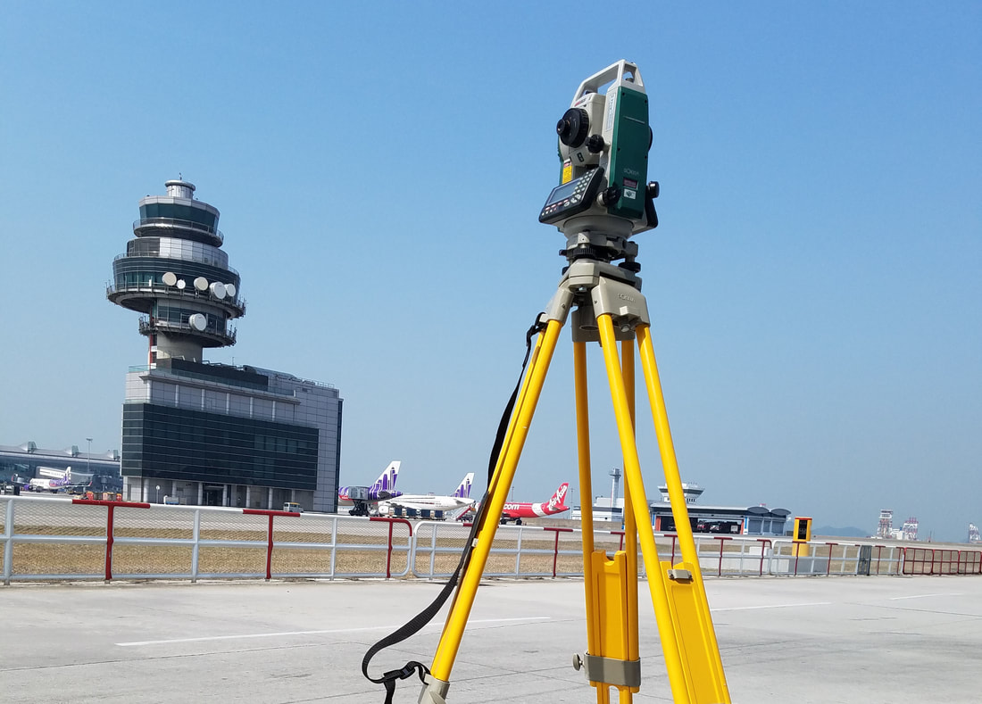
LAND SURVEYING
We use the latest data collection technologies and work processes to generate 2D and 3D plans of topography and built assets.
Our land surveying expertise includes:
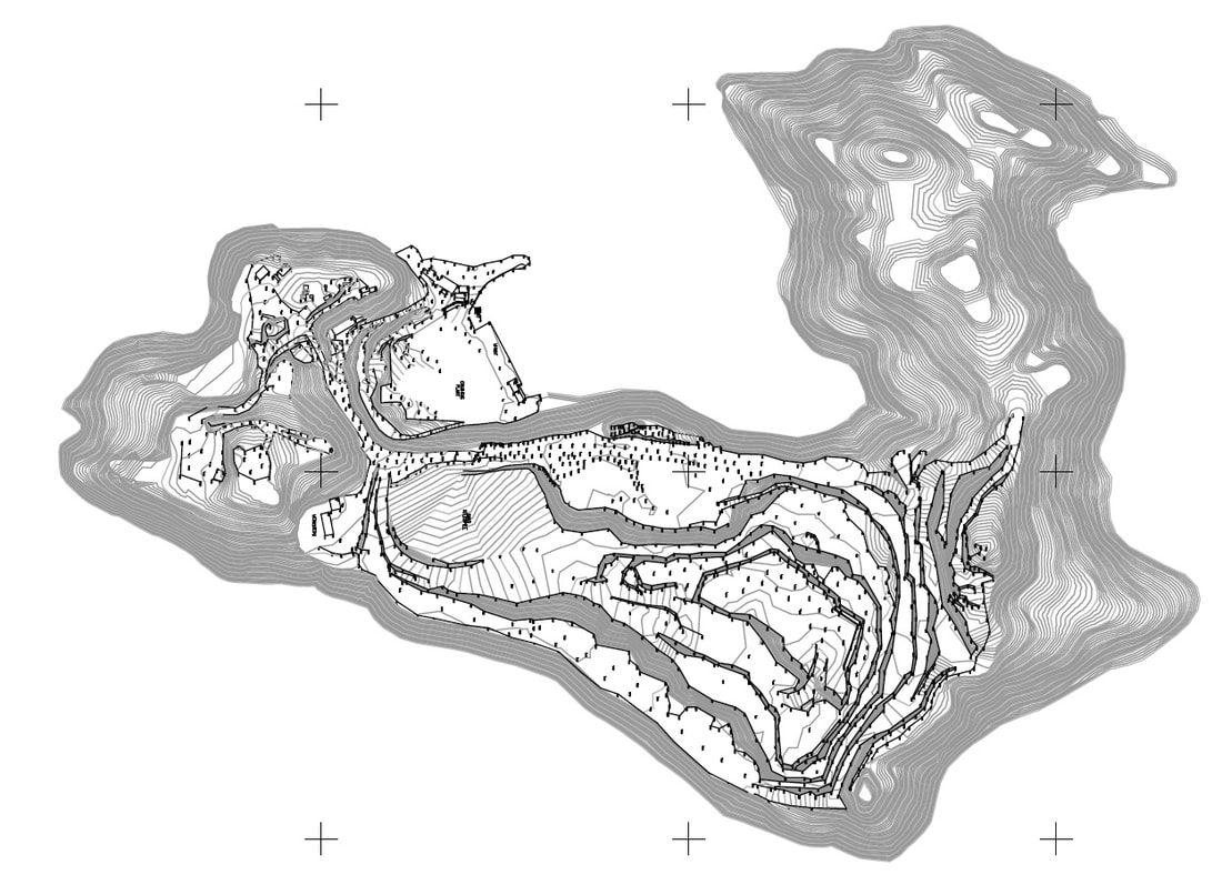
Topographic surveys: 3D CAD, Digital terrain models, Tree surveys
Hydrographic surveys: Bathymetric, Side-scan, Shallow sub-bottom profiling, Positioning, Volumes
Measured building surveys: 2D CAD or 3D Models, GFA calculations, As-built records, Heritage, A & A works
UAV (drone) surveys: Photogrammetry, Inspections, Aerial imagery, Videos, Construction progress
Cadastral (land boundary) surveys: Boundary surveys, Sub-divisions, Land disputes
Monitoring: Settlement & tilt of buildings & structures, Precise levelling
Expert witness services: Land disputes, Adverse possession, Encroachments